System overview
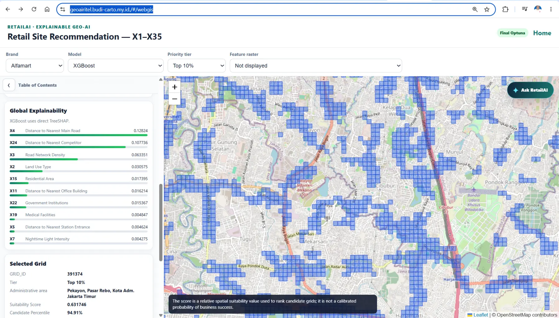
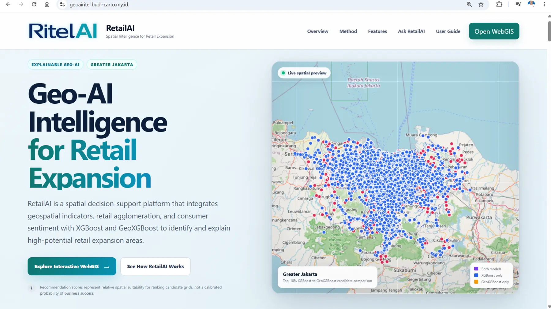
RitelAI combines XGBoost and geographically structured modelling, spatial variables, consumer sentiment, explainable AI with SHAP, priority-site ranking, and AI-assisted search. It is designed as a screening and location-intelligence system for more transparent retail-expansion decisions.
Operational need
Retail expansion teams need to screen hundreds of thousands of potential locations while understanding accessibility, population, competition, network context, consumer perception, and the uncertainty of model recommendations.
How the workflow operates
- Explore market and outlet context
- Select brand, model, and recommendation threshold
- Review candidate grids and ranked locations
- Inspect spatial features and local explanations
- Use AI-assisted search to interrogate the result
Solution architecture
- Spatial grid and feature store
- XGBoost and geographically structured modelling
- Fold-safe validation and independent holdout logic
- SHAP-based model explanations
- WebGIS interface for recommendation review
Core capabilities
- GeoXGBoost
- Explainable AI / SHAP
- Spatial recommendation
- Consumer sentiment
- Priority locations
- AI Search
Operational value
- Faster screening of large metropolitan areas
- Transparent comparison of candidate locations
- Model evidence connected to local geography
- A research workflow translated into an interactive decision-support product
SCALABILITY
The system can incorporate new cities, brands, business constraints, updated outlets, additional sentiment, or new features when data governance and validation logic are maintained.