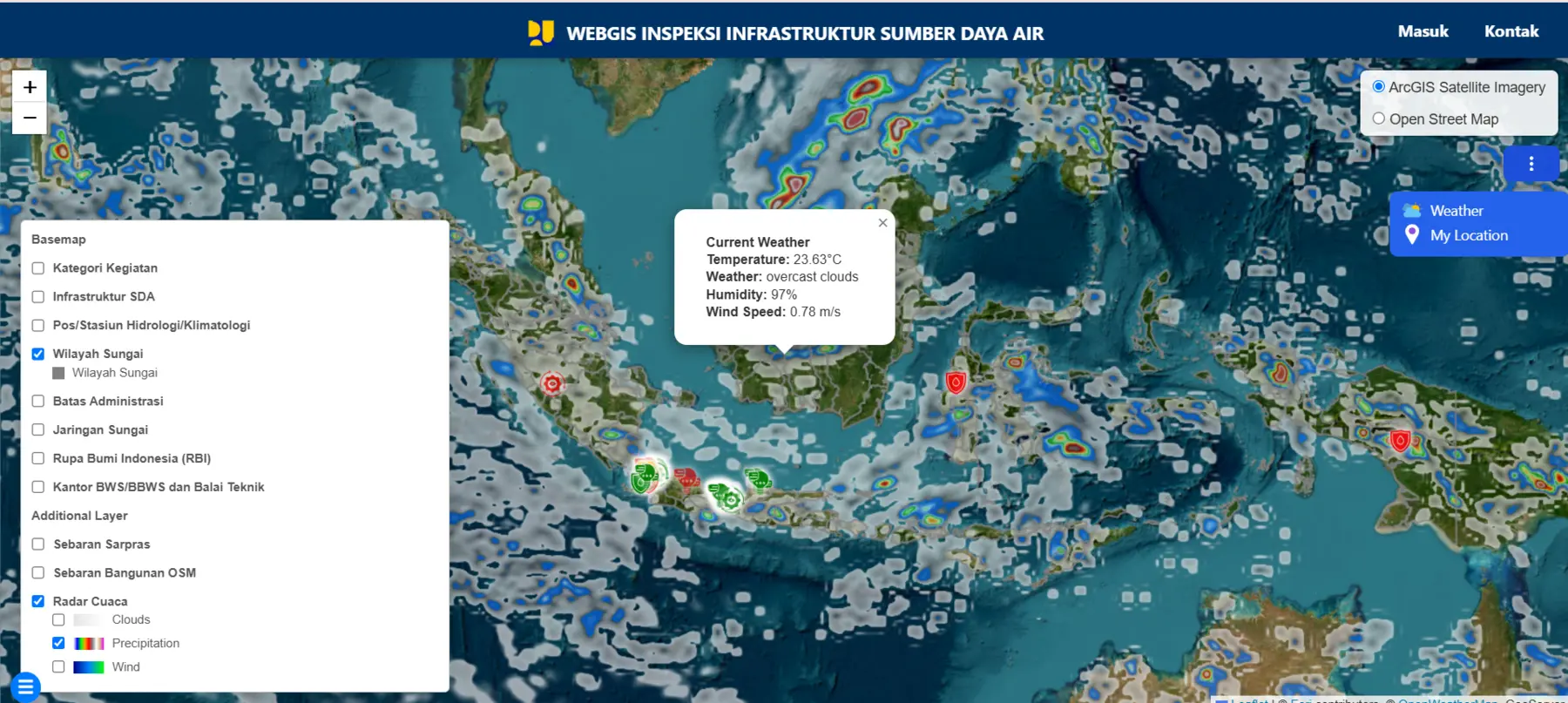
System overview
Smart Infra GIS brings asset mapping, mobile field inspections, geotagged documentation, spatial visualisation, and three-dimensional data into one operational environment for the Ministry of Public Works. It helps technical teams review infrastructure condition and maintain a consistent evidence base across office and field workflows.
Operational need
Water-resources infrastructure teams need to connect asset location, condition, field evidence, and three-dimensional context without losing information across disconnected spreadsheets, photos, and desktop GIS projects.
How the workflow operates
- Register and locate infrastructure assets
- Capture field observations and geotagged documentation
- Review condition and supporting evidence in WebGIS
- Explore spatial and 3D context
- Summarise findings through monitoring views
Solution architecture
- WebGIS interface for map-based inspection
- Mobile GIS workflow for field capture
- Spatial database for asset and inspection records
- Map and 3D services for visualisation
- Role-aware access and operational reporting
Core capabilities
- Water-infrastructure asset mapping
- Mobile field inspection
- Geotagged documentation
- Spatial data visualisation
- 3D data integration
- Monitoring dashboard
Operational value
- More consistent infrastructure records
- Faster connection between field evidence and asset location
- Improved visibility across a distributed asset portfolio
- A digital basis for future maintenance and prioritisation
SCALABILITY
The platform can expand by adding asset classes, inspection forms, condition rules, integration services, and analytics while preserving a common spatial reference.