Project overview
A flood-risk assessment for an existing walking trail in Atlanta. The work combined rainfall-runoff modelling in HEC-HMS with hydraulic analysis in HEC-RAS to compare conditions, identify risk areas, and support mitigation planning.
The project challenge
An existing walking trail required a defensible understanding of catchment response and creek hydraulics so that flood exposure and possible design implications could be evaluated.
Technical approach
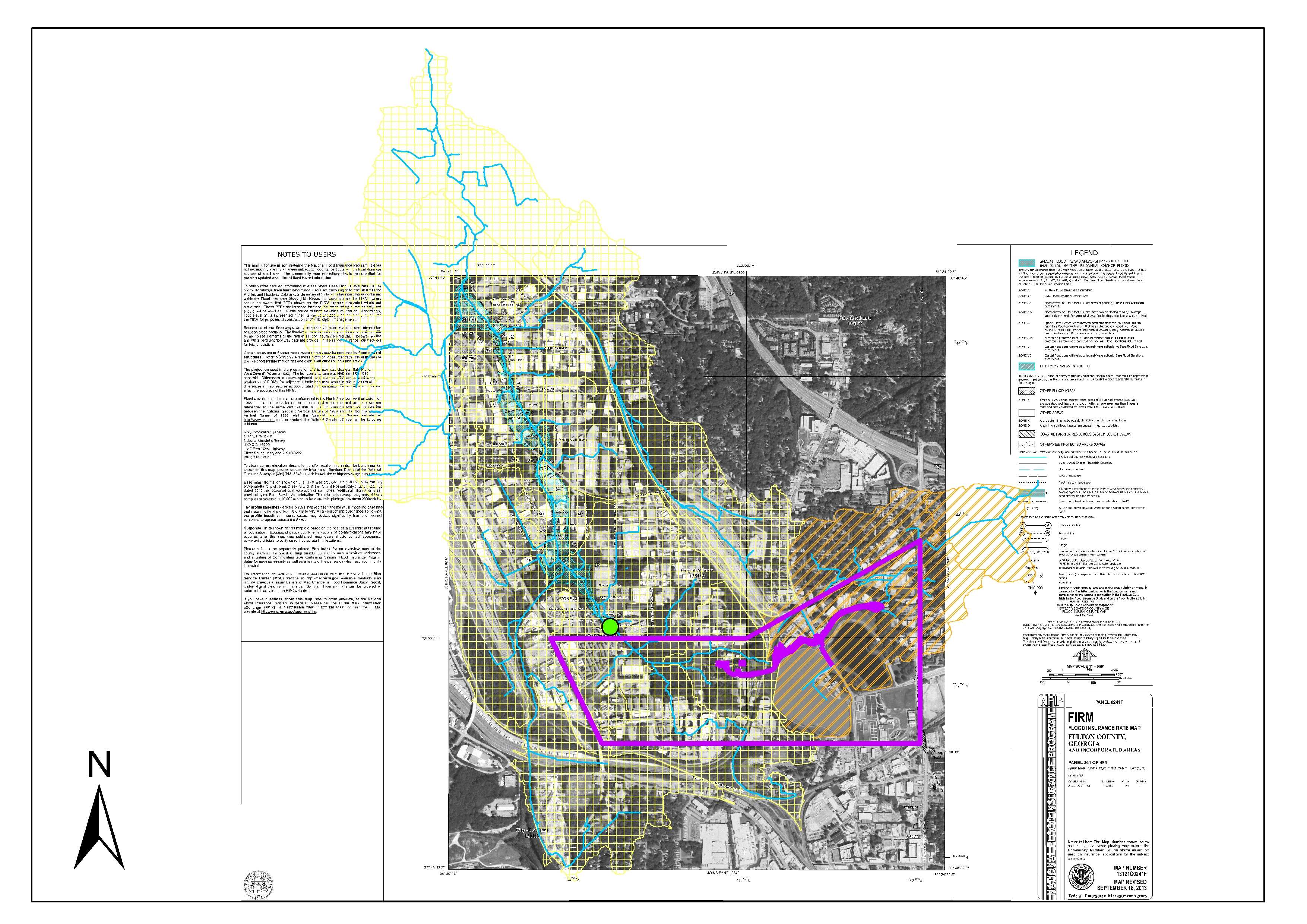
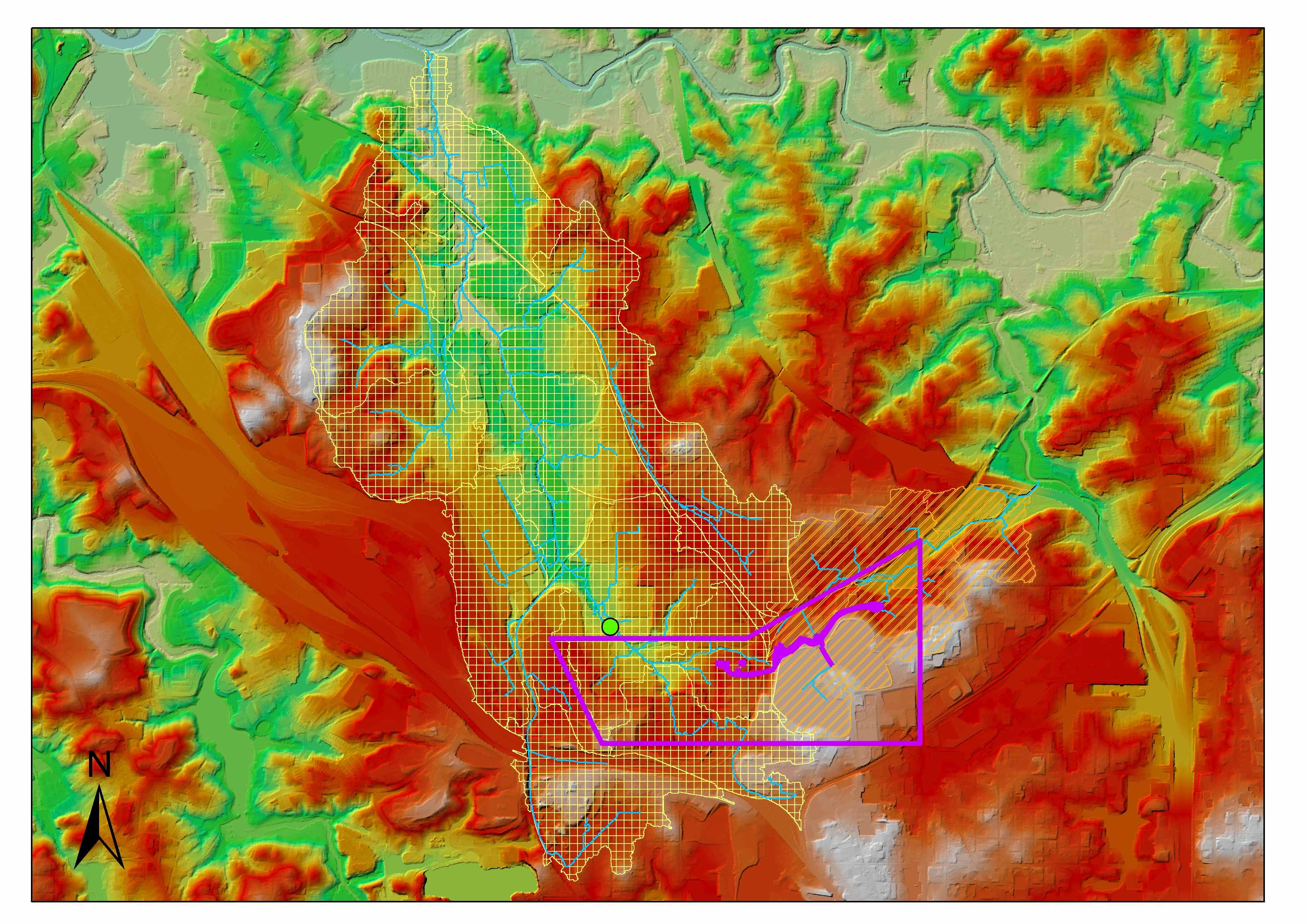
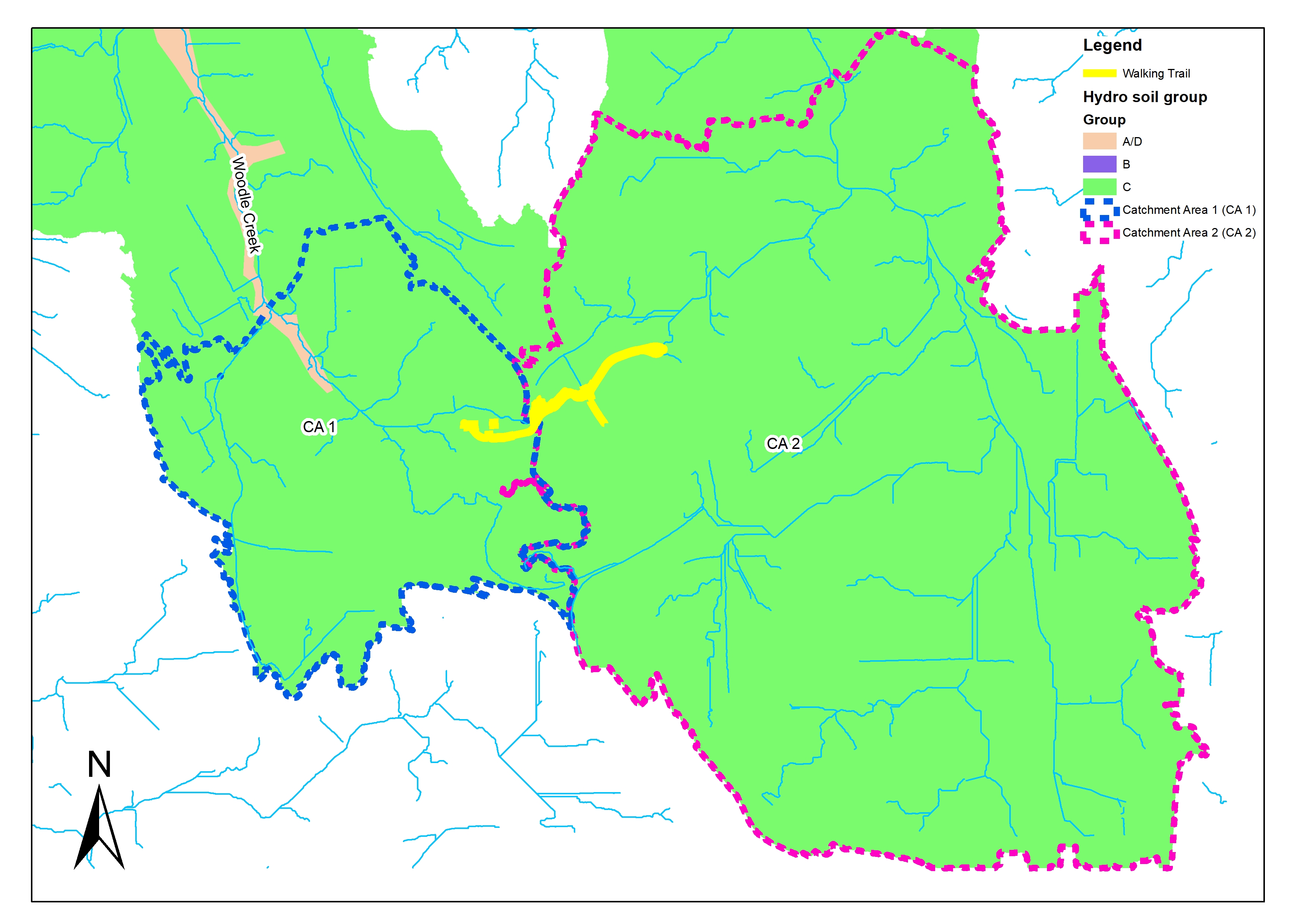
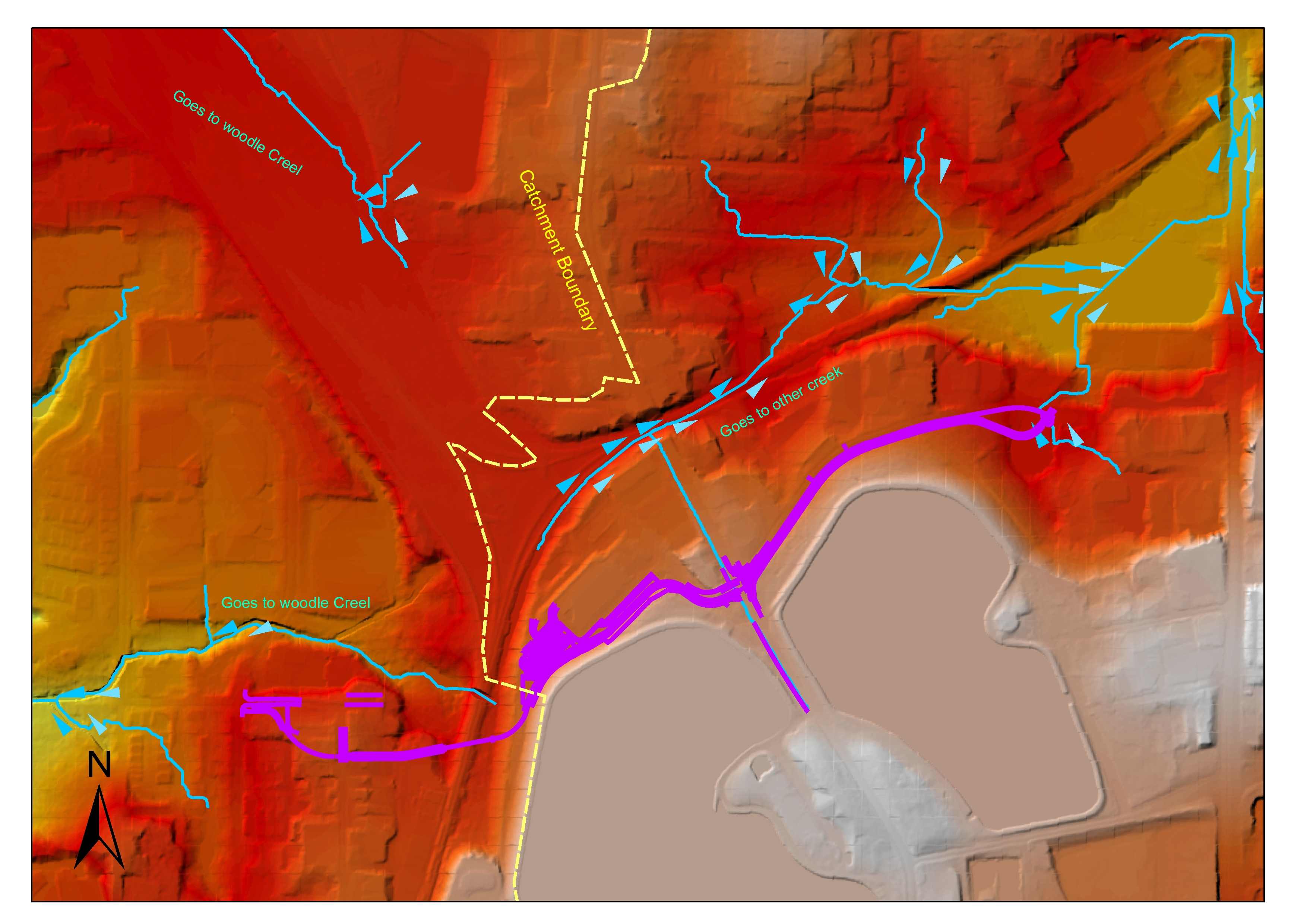
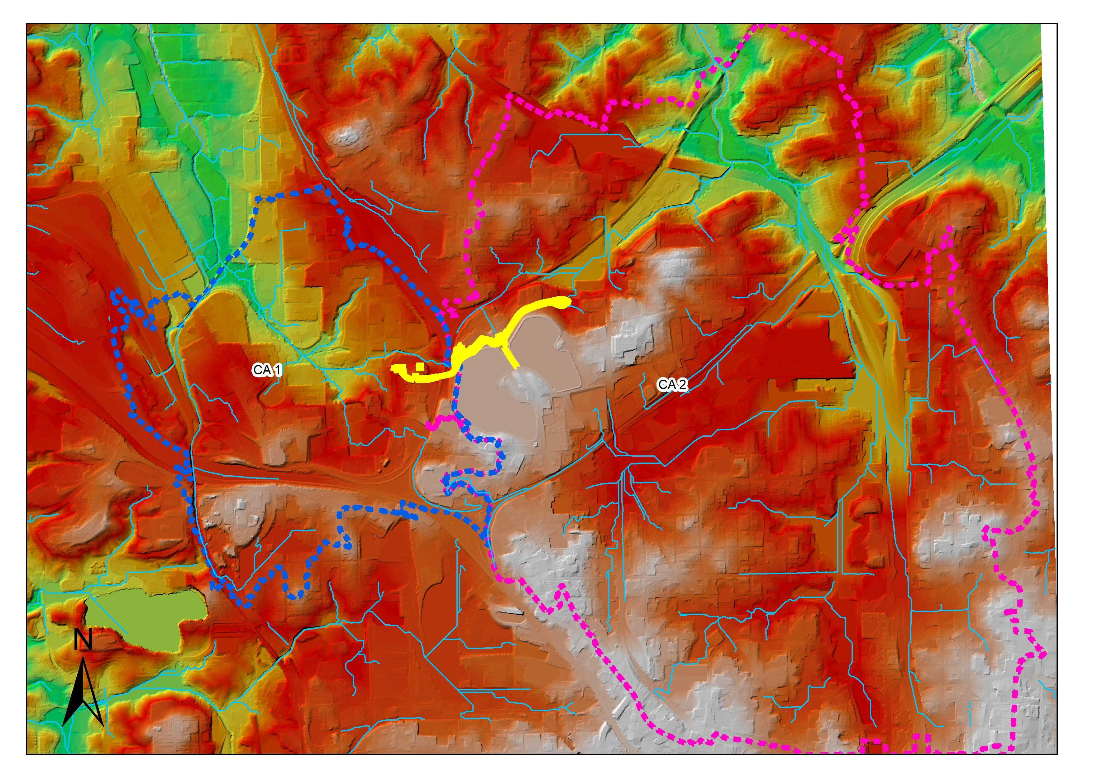
- Reviewed imagery, FEMA context, terrain, drainage paths, soils, and hydrologic soil groups around the contributing areas.
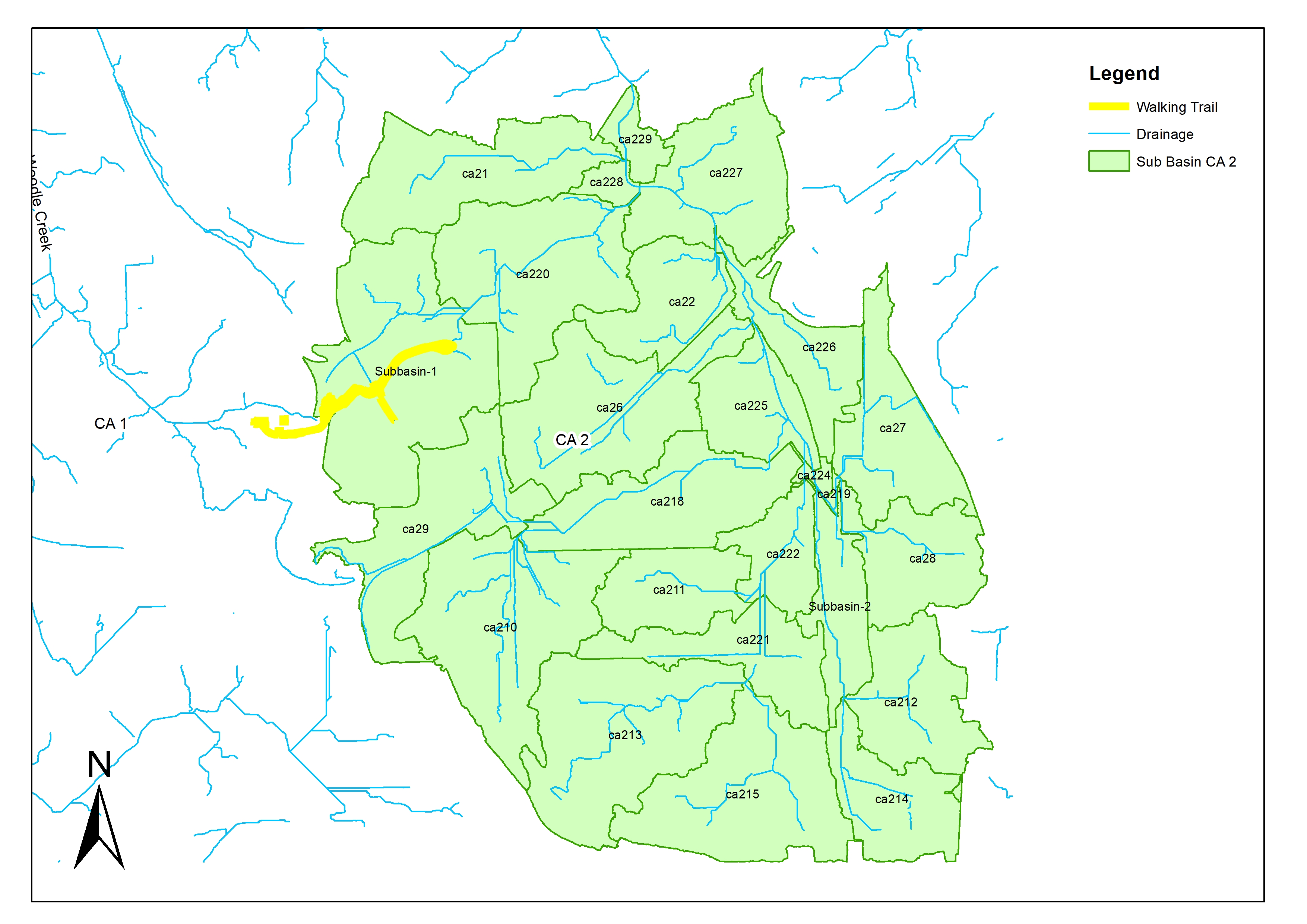
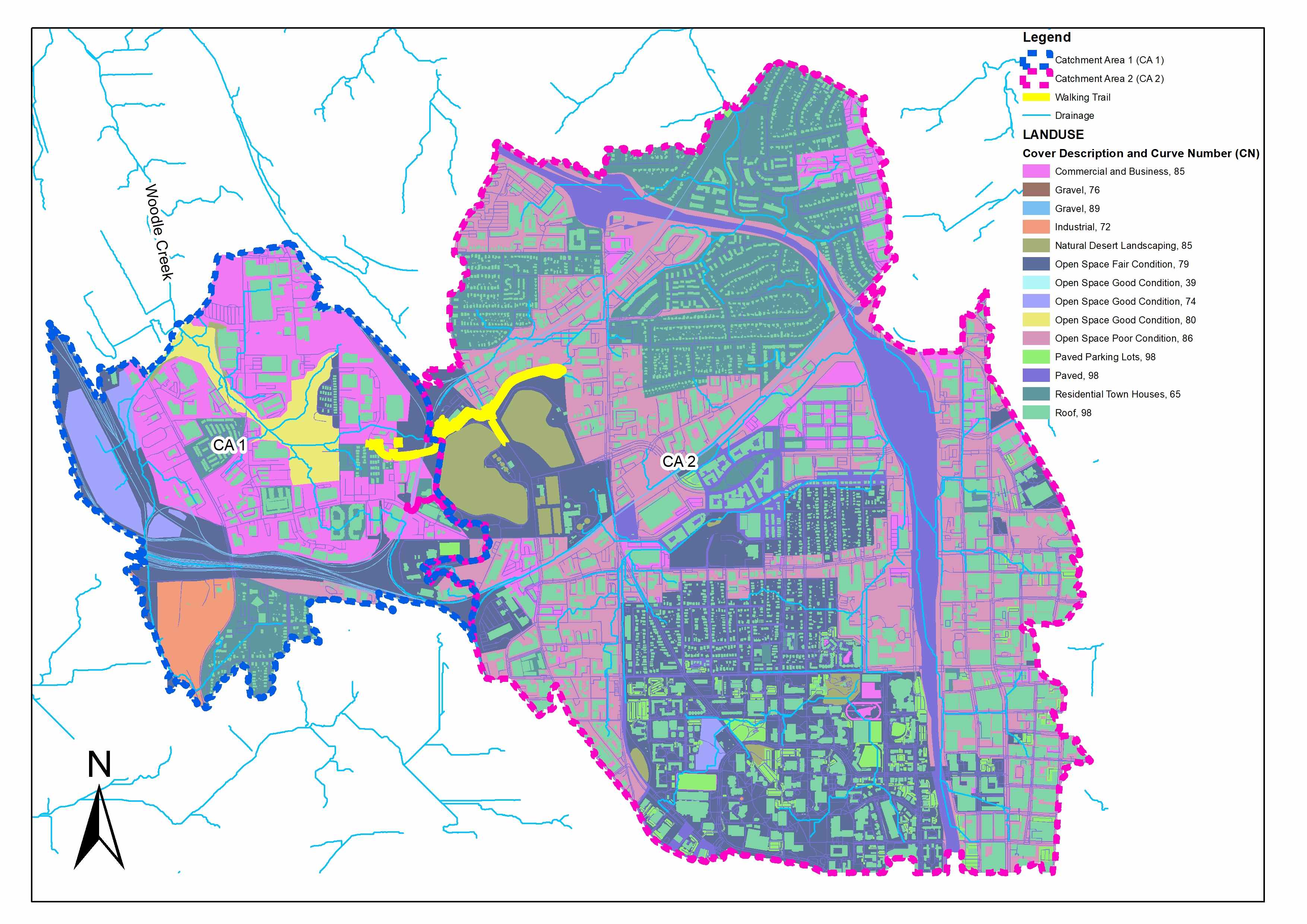
- Delineated catchments and sub-basins and prepared curve-number and rainfall-runoff inputs.
- Developed HEC-HMS hydrology to estimate design hydrographs for the relevant drainage areas.
- Used HEC-RAS to assess hydraulic conditions and interpret water behaviour around the trail and creek system.
- Compared conditions, documented assumptions, and mapped findings for technical review and mitigation planning.
Key deliverables
- Catchment and sub-basin mapping
- Curve-number and hydrologic inputs
- HEC-HMS model and hydrographs
- HEC-RAS hydraulic assessment
- Flood-risk maps and technical documentation
Decision value
- A traceable basis for evaluating trail flood exposure
- Clear connection between catchment assumptions and hydraulic results
- Evidence for discussing mitigation or design options
- Reusable GIS and model files for later review
QUALITY & INTERPRETATION
The study cross-checks drainage logic using terrain, imagery, external flood context, hydrologic inputs, and hydraulic behaviour. Any discrepancies are documented rather than hidden.