Project overview
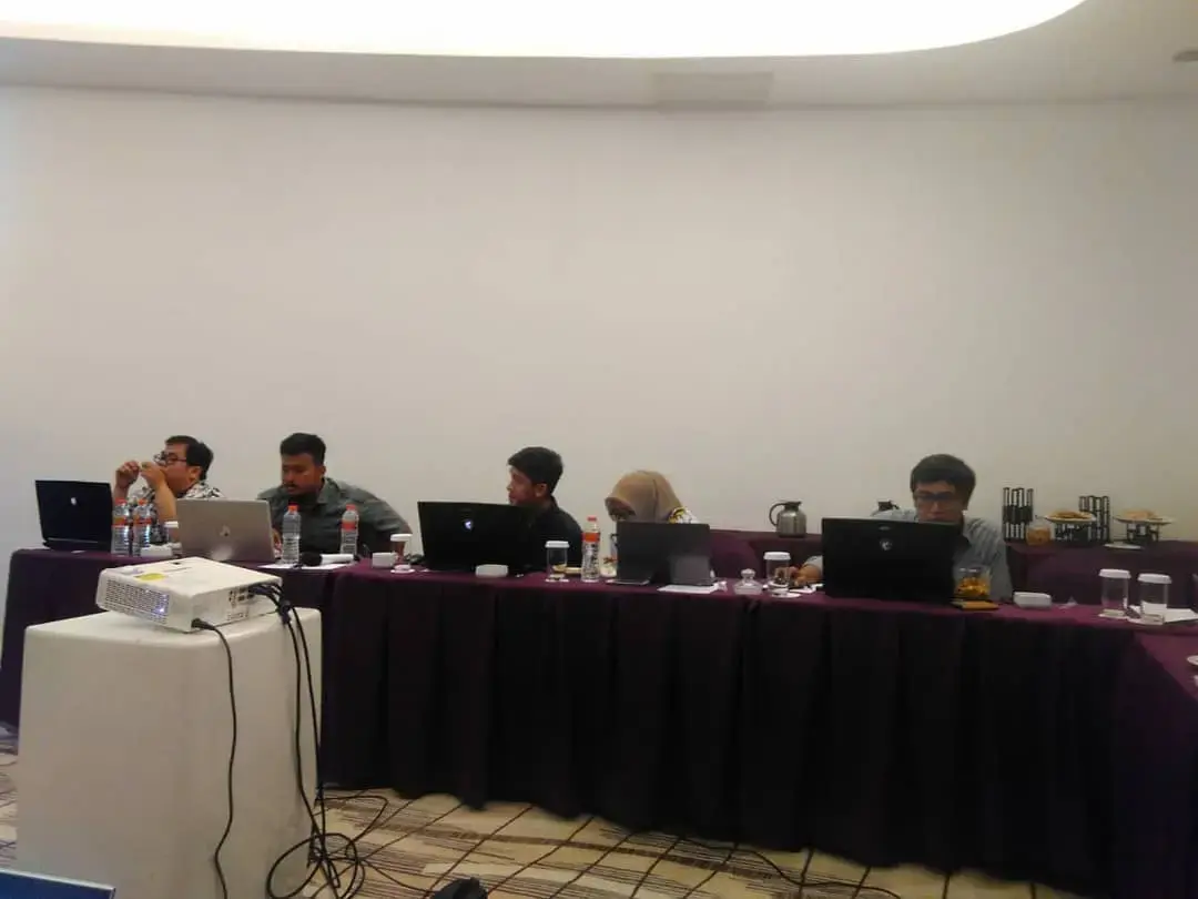
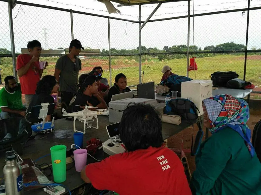
Hands-on sessions guide participants through survey planning, field data collection, photogrammetric concepts, GIS processing, mapping, and quality review. Training content is adapted to participant needs and combines technical explanation with practical exercises.
The project challenge
Participants often know individual software tools but lack a repeatable field-to-deliverable workflow and the ability to recognise inaccurate outputs. The training therefore needed to connect concepts, practice, and quality control.
Technical approach
- Assessed participant roles, existing skills, software access, and the type of work they needed to perform.
- Connected mission planning, field practice, control points, image capture, processing, GIS preparation, and mapping.
- Used guided exercises and relevant data rather than presentation-only instruction.
- Discussed common errors in coordinate systems, overlap, control, surfaces, orthomosaics, attributes, and map interpretation.
- Reviewed participant outputs and provided materials that could be reused after the session.
Key deliverables
- Tailored training curriculum
- Presentation and exercise material
- Field and desktop practice
- Sample GIS and photogrammetry data
- Workflow and quality-control guidance
Decision value
- Improved confidence in complete workflows
- More consistent technical outputs across a team
- Better recognition of data-quality problems
- Training material that supports continued internal practice
QUALITY & INTERPRETATION
The programme evaluates whether participants can reproduce and explain the workflow, not only whether they attended the session.