Project overview
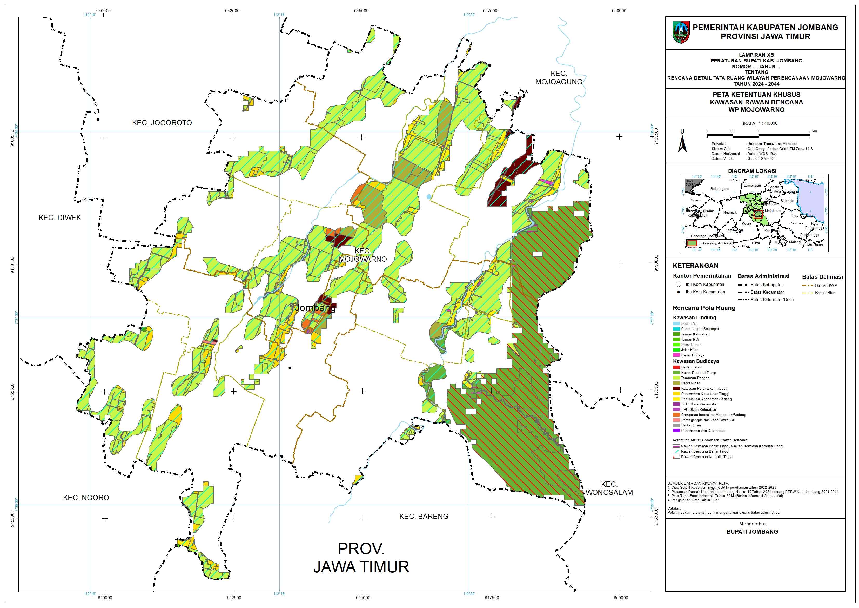
Produced digitised base data and thematic maps supporting detailed spatial planning in Mojowarno, Jombang Regency. The work transformed imagery and existing spatial data into decision-ready land-use and planning datasets.
The project challenge
Detailed spatial planning requires consistent base data, land-use interpretation, attributes, and legally legible map products across many themes and map sheets.
Technical approach
- Reviewed satellite imagery, existing spatial datasets, planning boundaries, and required RDTR themes.
- Digitised and standardised spatial features with consistent geometry, coding, and attributes.
- Checked topology and alignment between administrative, structural, land-use, and special-provision layers.
- Prepared thematic maps and map sheets with controlled symbology, labels, legends, and references.
- Organised source and final datasets for use by the wider planning team and future WebGIS workflows.
Key deliverables
- Digitised planning datasets
- Spatial structure and land-use plan maps
- Special-provision and disaster-risk maps
- Map sheets and cartographic layouts
- Structured GIS database
Decision value
- More consistent evidence across the planning document
- Reduced rework between data and map production
- A traceable spatial basis for planning discussion
- Datasets suitable for later digital publication
QUALITY & INTERPRETATION
Topology, projection, attributes, source consistency, map-sheet alignment, and cartographic hierarchy are reviewed as part of the production workflow.