About
About Budi Prasetyo Nugroho 👨💻
Budi Prasetyo Nugroho is a specialist in GIS, GeoAI, Hydrology (HEC-RAS / HEC-HMS),
Remote Sensing, WebGIS, and Photogrammetry with 10+ years of experience.
He is a Top Rated Plus freelancer on Upwork and the Founder & CEO of Solusi Pemetaan Pasti.

GIS & GeoAI Specialist • Hydrologist • Remote Sensing & WebGIS Developer
Specializing in Digital Mapping, Land Surveying, Photogrammetry, 3D Modeling, Hydrologic/Hydraulic modelling, Website & Webmap creation, and GeoAI workflows. Proficient with industry-standard tools and committed to precise, reproducible results.
- Birthday: 20 November 1992
- Website: www.budi-carto.my.id
- Phone/WhatsApp: +62 857 7374 5006
- City: Depok, West Java, Indonesia
- Age: —
- Degree: B.Sc. in Geography (Universitas Indonesia)
- Email: budioibud@gmail.com
- Freelance: Available
Education:
• B.Sc. in Geography (Universitas Indonesia, 2016).
• Briefly attended Master’s in Water Resources Engineering (ITB) — completed one semester.
• Currently pursuing a Master’s in Information Technology (Binus University) focusing on Data Science, AI, and Machine Learning (GeoAI).
Location: Depok, West Java, Indonesia.
Facts & Achievements
Proven delivery and recognition across GIS, GeoAI, Hydrology, Remote Sensing, and WebGIS.
Happy Clients worldwide
Projects successfully completed
Hours Of Support provided
Team Members across disciplines
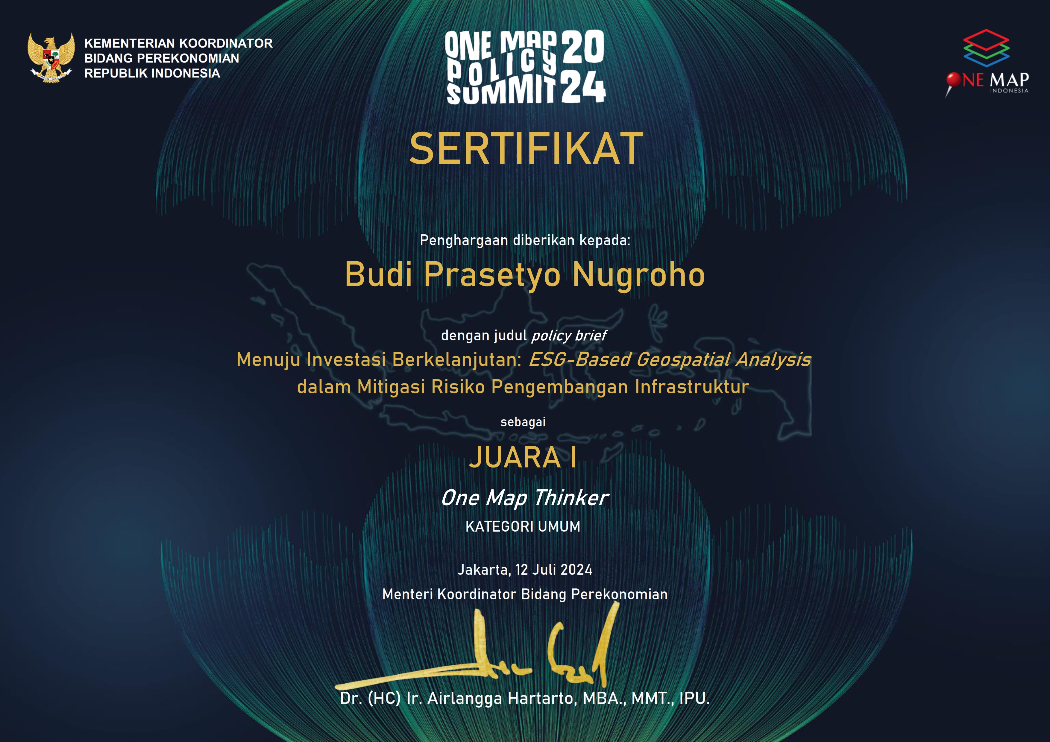
- Winner — Hackathon Data Competition, Ministry of Public Works & Housing (PUPR).
- Winner — One Map Policy, General Category.
Skills
Software & languages to deliver rigorous, production-grade geospatial and hydrologic outcomes.
Resume
Dedicated GIS & GeoAI Specialist and Hydrologist with 10+ years in remote sensing, photogrammetry, and web map development, delivering high-quality results on time and within budget.
Summary
Budi Prasetyo Nugroho
Top Rated Plus freelancer specializing in GIS, GeoAI, Hydrology (HEC-RAS/HEC-HMS), WebGIS, Remote Sensing, and Photogrammetry.
- Jl. Radar Auri No. 3, Mekarsari, Cimanggis, Depok, West Java, Indonesia
- +62 857 7374 5006
- budioibud@gmail.com
Education
B.Sc. in Geography
2011 - 2016
Universitas Indonesia, Depok
Focus on GIS & Remote Sensing; problem-solving in geospatial sciences.
Master’s in Water Resources Engineering (partial)
—
Institut Teknologi Bandung (ITB)
Completed one semester.
M.T.I. in Information Technology (ongoing)
—
Binus University
Specialization in Data Science, AI & Machine Learning with a focus on GeoAI.
Professional Experience
Founder & CEO
— Present
Solusi Pemetaan Pasti
Freelance GIS Specialist
Jan 2023 - Present
Upwork
- Remote sensing, hydrology/hydraulics, and GeoAI pipelines.
- Spatial analysis, reproducible workflows, and QA for decision-grade outputs.
GIS Specialist - Associate Consulting Engineer
Jan 2021 - Sep 2022
ACE Pakistan Ltd., South Jakarta City
- Led GIS/Geodetic data for Digital Engineering Design (Warsamson & Rongkong Dam).
- Dam site plans, inundation, irrigation suitability, drone mapping, and dambreak/EAP reports.
Analyst Spatial and Regional Mapping
Mar 2020 - Dec 2021
Ministry of Public Works and Housing (PUPR)
- Thematic maps, geodata management, analysis, field surveys, and inter-agency coordination.
GIS Analyst
Jun 2019 - Dec 2019
World Resources Institute
- Consolidated palm oil concession datasets and validated with satellite imagery.
GIS Analyst
Jun 2018 - Dec 2018
PT Reka Spasia Indonesia
- Spatial planning (RDTR) mapping for Jatiluhur Dam and Patimban Port.
GIS & Photogrammetry Specialist
Jan 2018 - Jun 2018
Center for Environmental Research, IPB University
- Multispectral UAV assembly, GCP surveys, and spectral data analysis.
GIS & Geodetic Engineer
Jan 2017 - Nov 2017
PT Pangripta Geomatika Indonesia
- GCP/ICP surveys (static & RTK), multispectral/RGB/LiDAR drone operations.
GIS Officer
Apr 2016 - Dec 2017
ABT Associates (NGO)
- Supported Trimble IMS & WebGIS (FlexiCadastre) for PTSP/Bappeda across multiple districts; Green Prosperity (MCA Indonesia).


Services
From GeoAI-augmented analysis to dam hydrology design, I deliver end-to-end geospatial solutions.
Contact
Questions, RFPs, or collaborations? Let’s talk.
Location:
Jl. Radar Auri No. 3, Mekarsari, Kec. Cimanggis, Kota Depok, Jawa Barat
Email:
Call:
+62 857 7374 5006